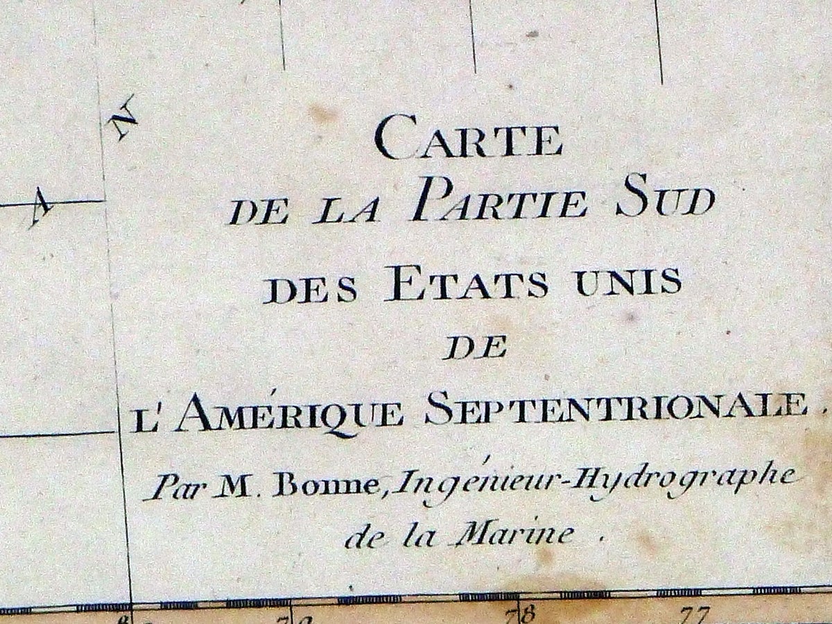
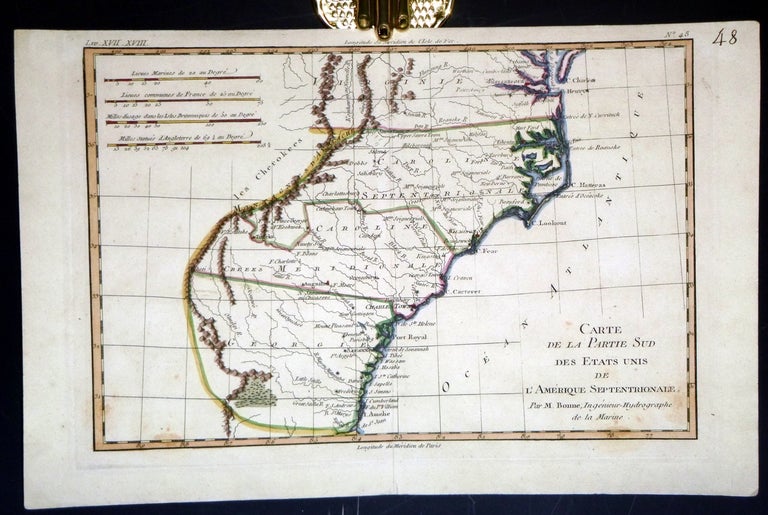
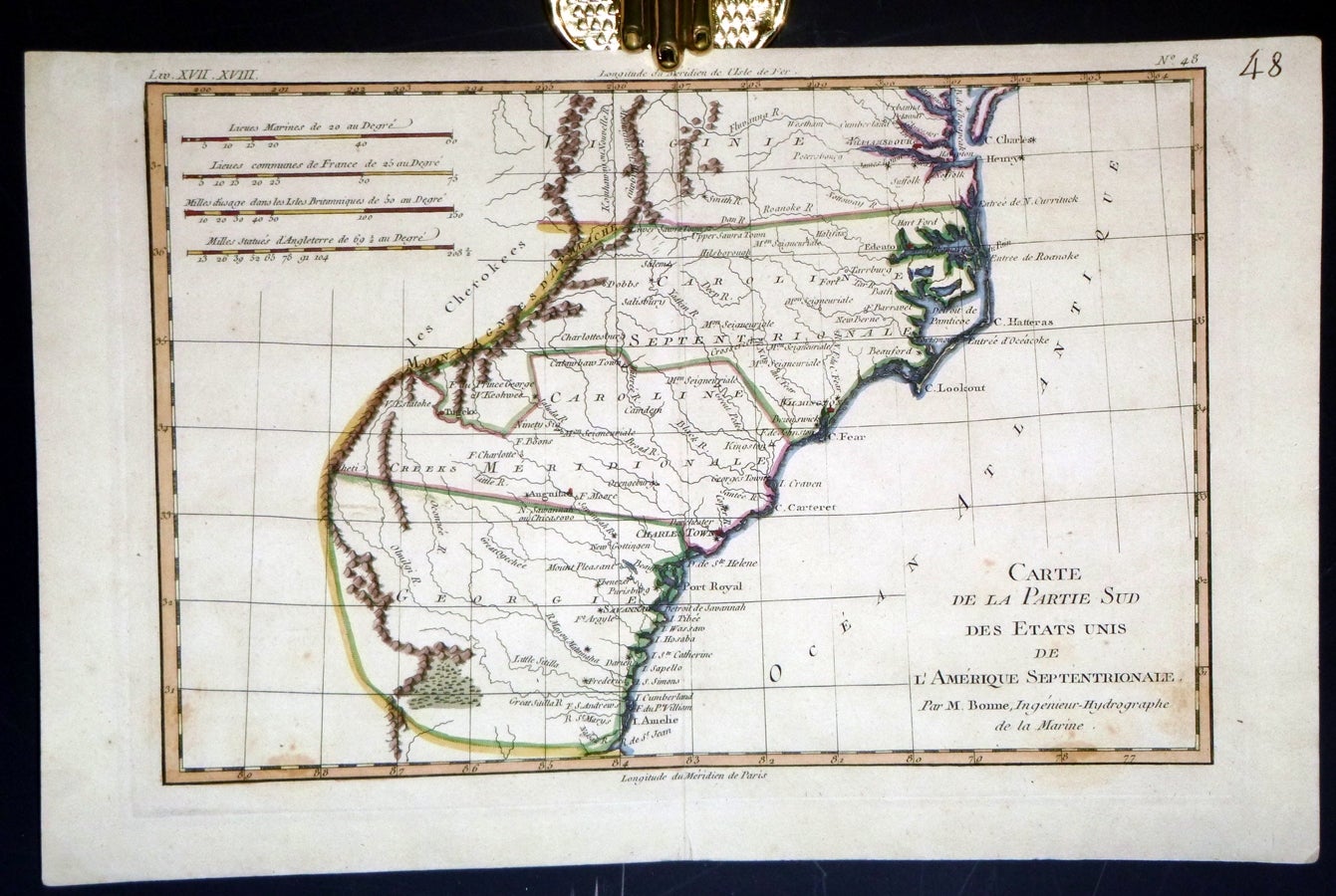
Carte de la Partie Sud des Etats Unis de L'Amerique Septentrionale. Par M. Bonne, Ingénieur-Hydrographe de la Marine.
Paris [1787]: M. Bonne. 21cm x 31.5 Cm. Item #022629
Hand colored in outline. Intersting points of the map includes the territory of the Cherokees and Creek Indians, and Cape Fear which was the site of many initial European settlements and served as a key transportation route for colonial pioneers traveling into the North Carolina backcountry. This map depicts Virginia, N. and S. Carolina and Georgia. `A very good map with just a couple of spots of foxing to lower portion of map.
Price: $200.00
See all items in
Maps and Geographical Studies
See all items by Rigobert Bonne, Nicolas - Nicholas Desmarest